Granville State Forest Adventures
Granville State Forest, located in Massachusetts, offers an inviting landscape for outdoor enthusiasts with its lush forests and scenic trails.
Popular Activities
Plan Your Visit
Everything you need to know to prepare for an unforgettable trip to Granville State Forest.
Entrance Requirements
Free access; no permits required.
Best Time to Visit
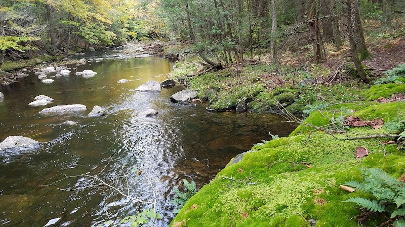
Spring through fall offers the best weather for hiking, with vibrant fall colors peaking in October.
Visitor Information
No designated visitor center; information available at local trailheads.
Getting There
Accessible via local roads off Route 57; seasonal access may vary with weather conditions.
Weather & Climate
The forest experiences a full range of seasons with cold, snowy winters and warm, humid summers. Spring and fall are mild and pleasant.
Conservation Efforts
Ongoing conservation efforts focus on habitat preservation and forest health. Invasive species and climate change pose potential risks.
Camping in Granville State Forest
Find the perfect spot to stay overnight and immerse yourself in the details.
Granville State Forest Campground
Located in a forested setting with easy access to trails and Ruggles Pond.
Top Trails
Pine Knob Loop
Offers a loop through varied terrain and scenic overlooks.
Ruggles Pond Trail
A short loop around the picturesque pond, great for a leisurely walk.
Harwood Trail
Features forested paths with gentle elevation changes and wildlife views.
Robinson Loop
Challenging terrain with rewarding vistas and solitude.
Trailblazer Tips
Visit in the fall for spectacular foliage views.
Check for snow conditions before planning winter activities.
Campgrounds operate on first-come, first-served during peak times.
Bring a map as some trails are minimally marked.